Varen er på fjernlager, leveringstiden er 4-6 hverdager. Mere info
Frakt 75,00 - Bring - Hentes på Posten.
Se alle alternativer
Bring - Hentes på Posten
75,00
Bring - Fleksibel hjemlevering - Levering til døren (om kvelden i større byer)
199,00
NOK
682,00
eksklusiv MVA 545,60
Totalt inkl. frakt
757,00
Denne funksjonen krever at man er logget inn. Opprett en bruker og liste systemet for å holde styr på fremtidige kjøp eller ønskelister. Opprett bruker Login
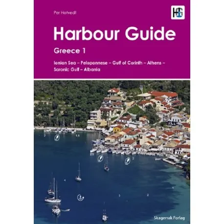
Harbour Guide Greece 1 provides a detailed description of all anchorages, harbours and marinas along the popular and well developed east coast of Greece including the Gulf of Corinth, the Peloponnese, Athens and the Saronic Gulf. The Guide also covers the entire coastline of Albania, a new and not yet well developed cruising area.This Harbour Guide is written by one of Skagerrak Forlag’s most experienced skippers, Per Hotvedt. Per has sailed many of the world’s waters, but has spent many years sailing and exploring the waters of eastern Greece and Albania, collecting and compiling the information and charts presented in this guide.This Harbour Guide, like all the guides in our series, presents each harbour on a separate page, a format that has been developed by Skagerrak Forlag based on the very extensive sailing experience of all the authors and editors who contribute to the production of our guides, including their use of our guides at sea. We believe that this format gives skippers and crews the best and easiest access to the information they need to bring their boat safely in to harbour. On each page is a large aerial photograph of the harbour marked up with all the most important navigational information including approach line, a clear and large scale chart of the harbour itself, a text that describes the area around the harbour, where to eat and things to do and see, a description of berthing and anchoring and a fact box. All photographs are taken or commissioned by the publisher and are unique, all charts have been drawn exclusively for the publisher and include depth measurements made by the author or Skaggerak Forlag and the harbours included in the guide have been handpicked by ourselves based on our knowledge and exploration of the area. An online subscription version of this guide is also available on www.harbourguide.com, with all other published Harbour Guides.
Forfatter
Per Hotvedt
Sprog
Engelsk
Sideantal
264
Indbinding
Spiralryg
Udgave
1
Serie
Havneguiden
Forlag
Læremiddelforlaget - Skagerrak
ISBN10
8279972072
ISBN13
9788279972075
Produktet har følgende varenummer i vårt system:
SKU:
9788279972075
EAN:
9788279972075
Hvorfor oplever jeg at den umiddelbart samme vare findes på forskellige varenumre?
Producenterne udgiver ofte den samme vare med forskellige varenumre, typisk handler det udelukkende om forskellige versioner af emballagen. Eksempelvis kan emballagen være målrettet forskellige lande.
Vi forsøger bedst muligt at samle varerne, men det kan opleves at den samme vare figurerer på forskellige varenumre i vores system.